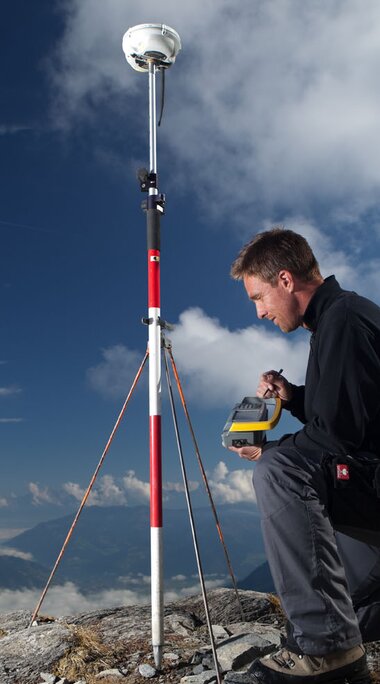
GRAPHIC DATA PROCESSING
Since 1992, plans have also been available in digital form in our office.
Due to continuous further development and training of our staff in this field, our IT services include not only graphic data processing (drawing up plans in a wide variety of designs - e.g. depositing orthophotos/air photos in plans or 3D terrain representations), but also the introduction of geo-information systems and databases for our customers.
The expansion of the company to include geoinformation systems and the securing of line rights in accordance with the Land Register Adjustment Act took place as early as 1997.
Our entry into the innovative world of geoinformation systems represents the consistent further development of graphic data processing and the forward-looking orientation of our company towards the information needs of our clients for the efficient storage and provision of spatial information as an essential basis for quick and sustainable decisions.
